
Corporate/Private/Commercial usage of unmanned aerial vehicles (UAVs) is getting bigger and bigger year on year. Anyone may now access aerial drone services previously only used by the armed forces. Aerial drone photography, drone surveying – construction surveys utilising drones, pipeline inspections, real estate drone photographers – and drone-assisted farming – are just some of the ways drones are being employed in the business sector.
A wide range of industries may benefit from unmanned aerial vehicles (UAVs), which provide fresh perspectives on company operations. Furthermore, unmanned drones for aerial photography and filmmaking are much more cost-effective than satellite surveillance, fixed-wing aircraft, or other human aerial photography or videography.
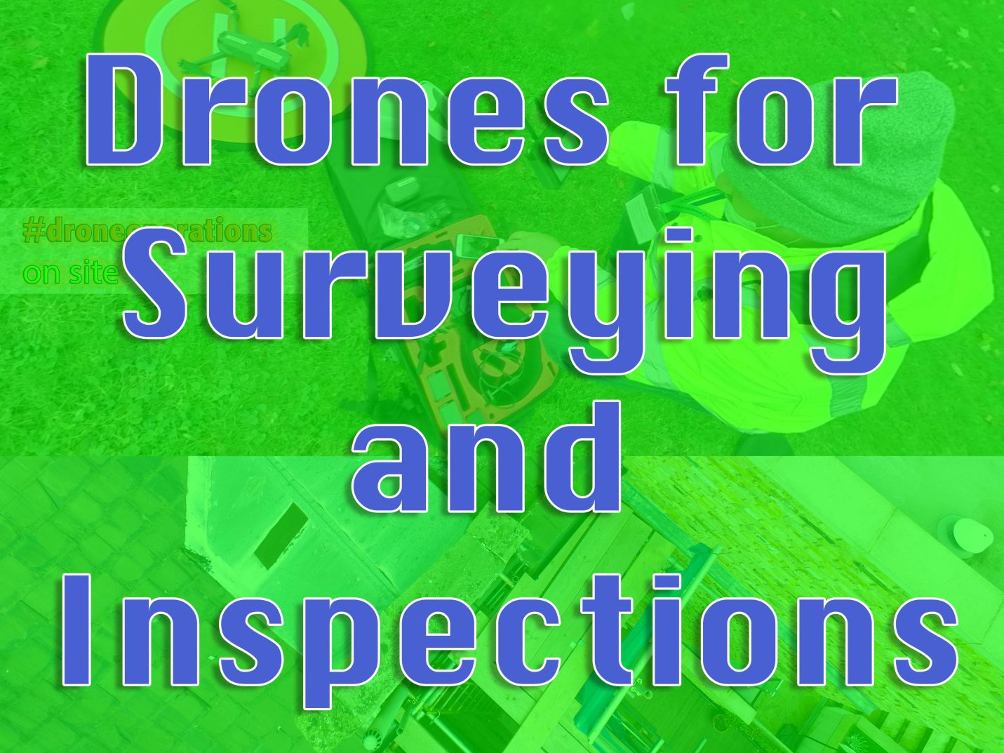
Drone Inspection companies specialise in innovative sensing devices for the areas of UAV drone surveying, drone mapping, GIS inspection and inspection, topographic survey and 3D graphics, as well as photogrammetry and drone monitoring, aerial infrastructure monitoring, and also aerial recording and aerial photography/videography.
Most drone surveying aims to improve safety, cut costs, and speed up the completion of projects via drones. With primary focus is understanding, preserving, and protecting our customers’ most valuable assets.
Quality should always come first. Using the most up-to-date aerial technology available to satisfy demand. It’s a team of highly skilled UAV engineers and operators, surveyors and experts in wind turbines, and photographers and aerial camera operators.
In-House Productions
Video content is an essential part of any digital marketing strategy. One to two-minute films provides an overview of your firm and its products and services.
Inspections and Surveys of Real Estate
High-altitude aerial structures, including towers, chimneys, and building roofs may be inspected using radio-controlled UAVs.
Worksite
Every project stage may be captured with drone photography, from the initial planning stages through construction to the last stages of the building’s peaking and completion. Aerial But aerial photography is the best way to get an aerial image of a construction site.
Photographing Real Estate
Providing amazing aerial property photography and video for residential real estate agents. Aerial photography and video capture the expanse of a home, field, or garden in a manner that ground-based photography cannot match.
Real Estate for Business
Aerial photography and videography are now an affordable alternative for commercial real estate brokers selling or leasing offices, retail parks, industrial units, factories, farms, or land.
Media from every angle
Designers and surveyors may use it to show their clients the site from all angles, and it consists of 360-degree videos and images. Generate stunning 360-degree dynamic aerial panoramic photographs to promote your business using drones. You can use tags and comments to make it easier for others to find your content. 360-degree virtual tours give you the feeling of looking down on a location from above, giving you a bird’s-eye view from which to inspect every detail.
Photogrammetry in 3D
Post-production technologies allow us to turn drone photos into point cloud data, orthomosaics, and 3D models, no matter where the data is collected.
Mapping
For various industrial mapping applications using high-resolution cameras on drones (UAVs). Quarries and open-pit mines, for example, are difficult-to-reach areas that may be surveyed and mapped.
It’s a 2D map
In the field of 2D Mapping, we have a wealth of experience. Additionally, our drone UAV pilots have a wealth of knowledge and expertise in site evaluation and construction.
Mapping in Three Dimensions
We also take aerial photos from different locations of interest when flying over goods to improve 3D Mapping accuracy. Overlap grid patterns may be flown at a variety of heights. Because they are all geo-referenced, these extra pictures add depth and richness to the final 3D model.
The Purpose of Drones
Drones may benefit corporate and industrial users in three ways:
• Effectiveness
• Cost-cutting
• Safety
Drones usually provide all three benefits, albeit the specifics depend on the application. Using drones to speed up recovery plans and property inspections, for example, might reduce the time, risk, and effort involved in these tasks, which now require workers to climb dangerous ladders or ascend steeply inclining rooftops. Insurance photography has undergone a permanent transformation due to the use of UAVs and specialised software.
The drone company can help you achieve the best results, organise your project, and guarantee that drones are safely integrated. From the first phone call to the final product you will be able to use drones’ capabilities for your next film, photography, or survey.
Equipment of the Finest Grades
The unmanned aerial vehicles (UAVs) with industry-leading integrated advanced flight computers and the most reliable technology. Access to several types of cameras and technologies is provided to the customer base. Drones may also be used for live TV because of their HD connection and low latency. Most survey companies always have enough batteries and fast drone charging stations on standby to finish the airborne mission, which may last up to 30 minutes.
Organising, Getting Approved, and Staying Safe
Safety via rigorous preparation and strict adherence to safety regulations. On-site, each drone is meticulously constructed and rigorously tested before taking to the skies. We adhere to method declarations tailored to each task’s specifics.
Get in contact with us.
Any London-based drone firm is eager to hear from you, whether you have a question about how we operate, the specifications, or a proposal you’d want to explore. As a result, we’ve organised several groups to make sure that we’ll always have the right people for any given job.
When looking for a drone survey and inspection company make the search with respect to photography skills previous experience, check out their social media and ask, ask ,ask questions!


Discussion about this post